Nullarbor Thirst Quencher Pub Trail
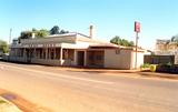
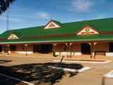
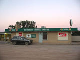
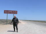
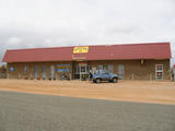
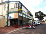
The Nullarbor Plains is often considered a baron desert type location but nothing could be further from the truth. Apart from a small stretch, barely 100km long that is the actual "treeless plain", the 1194km extended stretch from Ceduna thru to Norseman is a series of varied and interesting landscapes, with many an interesting watering hole along the way - but not necessarily a Pub!
Our Nullarbor Quencher Pub Trail actually starts out just outside of Port Augusta in SA at North Stirling not far from Wilmington. That point is a major pivot point linking NSW from Broken Hill, travellers from far north coming down via Alice Spings to Coober Pedy and Woomera, or adventurous Queenslanders trekking across from Mt Isa, down from William Creek or down through Birdsville.
And for those coming over the Nullarbor from WA, when they reach this starting point, then all those great destinations become challenging alternatives after the relatively straight and flat run across the Great Australian Bight region.
A couple of things are worth mentioning, for those about to embark on the Nullarbor crossing for the first time.
- You're not alone, this single road that links the southern ends of the continent is forever flowing with commercial transport and lots of like minded tourists
- You're never more than about 182km between fuel stops (longest stretch being Nullarbor Roadhouse to Border Village)
- Apart from the beer and fuel being about 30% dearer than anywhere else, you can cross the Nullabor like any other road, and if desired do it in two nights with adequate accommodation and meals provided along the route.
- The prevailing winds can make the trip hard going when travelling from east to west, which is why many motorhome and caravan travellers make a habit of going around Australia anti-clockwise, leaving The Nullarbor as a west-to-east run.
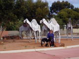
- If you think you'll have nothing to see - well, you're wrong, get ready for wildlife, history, magnificent rock formations, glorious clifftop views of the Southern Ocean, whale watching and the great hospitality of fellow travellers along the route.
- Yalata Mission located 93kms east of Nullarbor Roadhouse, and then inland a few kilometers, run as an Aborigine Mission, provides hospital and medical services, and fly-in services are quite normal in the area.
- Normal phone, internet communications are pretty much non-existent except for a very few places (and only then about 12kms either side) where there are Roadhouses (fuel stops with meals and accommodation). You might like to check out Gaz's Gear for communications and consider having access to a Satellite phone if keeping in touch is a concern to you.
- Consider meeting up with people at each end of the main section and travel in your own convoy together so that you have the companionship and comfort of knowing others are with you.
Otherwise, take the precautions of taking extra spare wheels, water, fuel and provisions. Once you leave Ceduna, which is the last town travelling west, there are only Roadhouses with basic fuels, meals and accommodation until you reach Norseman in WA. There are no mechanical repair service centres, and no places to even repair a tyre between those two towns.
So, off onto one of Australia's great journey's over the Nullarbor. And once you reach Norseman, consider either going north via Kalgoorlie and then into Perth, or go south to Esperance and around the glorious southern coastline via Albany, Margaret River and up to Perth that way. We cover both journeys as part of a loop Pub Trail run that gives you a complete overview of the South-East region of WA and back to the Nullarbor crossing again.
Happy Pub-Trailing!
Gaz!
Pubtrails: www.GdayPubs.com.au/pubtrails.html
email:
p: 0408994799
Nullarbor Thirst Quencher Pub Trail Location Map
Streaky Bay
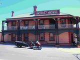 |
Streaky Bay Community Hotel »Streaky Bay Community Hotel Pub Photo Streaky Bay Community Hotel |
Ceduna
 |
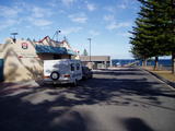
Ceduna Foreshore Hotel Motel »Ceduna Foreshore Hotel Motel Pub Photo Ceduna Foreshore Hotel Motel |

